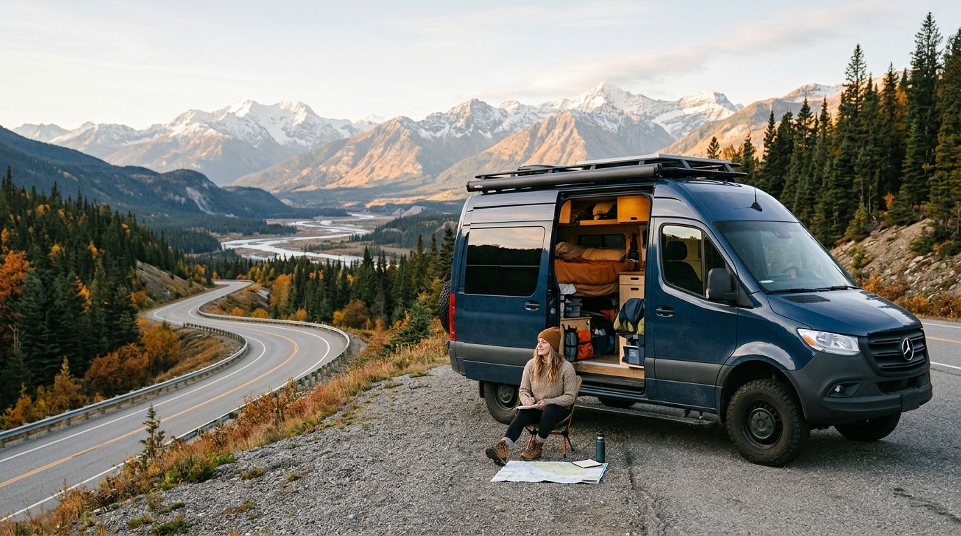
Scenic byway checklist for van lifers means a road-by-road list of America's officially designated byways, built to track visits from inside a rig rather than during a weekend car trip. Van lifers need a checklist that accounts for overnight parking, fuel range between fill-ups, and signal dead zones — details a standard bucket-list app skips entirely.
- A scenic byway checklist for van lifers should log fuel range, overnight parking, and signal gaps per route, not just miles driven.
- America's Byways designates 184 scenic routes across 48 states — most van lifers have logged fewer than 20 by 2026.
- Triptyka's printable scenic byway checklist tracks routes offline, which matters when a byway runs through a dead zone.
- Skip winter loops through byways with seasonal closures, like Beartooth Highway's roughly mid-October to Memorial Day shutdown.
- Group byways into driving loops by region instead of chasing one road at a time across the country.
Why a scenic byway checklist matters for van lifers
A day-tripper drives a byway and goes home. A van lifer has to figure out where to sleep that night, whether the next town has gas, and whether their phone will hold a signal for a work call. That's a different planning problem, and a generic "bucket list" doesn't solve it.
Most travel checklists assume you're passing through once. Van life is a repeat-visit, route-dependent lifestyle — you're stringing byways together into loops that also have to work as places to park, refuel, and sometimes work remotely. A scenic byway checklist built for trackers needs columns for those constraints, not just a checkbox next to a pretty road name.
The America's Byways program has designated 184 routes across 48 states since the Federal Highway Administration launched it in 1991. That's a large enough list that most van lifers will never finish it without a system — which is exactly why tracking matters more here than it does for a once-a-year vacationer.
Build your scenic byway checklist for van lifers step by step
Map your route list by driving loop, not just byway name
Start by clustering byways geographically instead of chasing them alphabetically or by fame. A van life route works best as a loop you can complete on one tank cycle, not a scattered list across five states.
- Group byways by region (Pacific Northwest, Appalachian, Southwest desert, Gulf Coast)
- Calculate total loop mileage before adding a byway to your plan
- Note which non-byway connector roads link two byways in the same region
- Flag byways reachable within one tank of your last known fuel stop
- Mark loops that can be split into 2-3 day segments if weather turns
Filter for overnight parking before you commit to a byway
A byway that looks perfect on a map can turn into a dead end if there's nowhere legal to park overnight nearby. Check this before the road trip, not after you've already driven three hours in.
- Note whether roadside pull-offs on the byway allow overnight stays
- Check for BLM land, national forest dispersed camping, or Harvest Host spots within 10 miles
- Flag byways that run through national parks, since permits and fees differ from open roads — the national parks checklist for RV travelers covers those distinctions in more detail
- Mark stretches with explicit no-overnight-parking signage
- Log free camping options you've confirmed, not ones you're guessing about
The manual version of this step is a spreadsheet column and a few minutes with a mapping app. A printable scenic byway checklist speeds this up because you can mark parking notes right on the page without opening five browser tabs mid-drive.
Track fuel range and services along each stretch
Mileage alone doesn't tell you if you'll make it. A 90-mile byway through a remote stretch of Wyoming is a different trip than 90 miles outside Nashville.
- Note the last fuel stop before you enter a remote stretch
- Log any "last gas for X miles" signage you pass
- Mark your rig's safe fuel window in miles, not just tank fraction
- Cross off stretches that require carrying backup fuel
- Note whether diesel is available if that's what your rig runs on
Check seasonal closures before you build a route
High-elevation byways close for months at a time, and planning around an open road that's actually shut down wastes a full day of driving.
- Mark byways with known winter closures (Beartooth Highway closes roughly mid-October through Memorial Day weekend)
- Note elevation gain, since passes above 8,000 feet close earlier and reopen later
- Check state DOT sites for current opening dates before departure
- Flag shoulder-season byways that may require chains
Log connectivity dead zones for remote work days
If you work from the road, a byway with zero signal for 60 miles isn't a scenic detour, it's a lost workday.
- Mark stretches with no cell signal on your route
- Note which nearby towns have library or cafe wifi as a backup
- Log services (gas, food, restrooms) available along dead zones
- Flag byways worth driving on a day off instead of a work day
Track the stops worth the detour, not just the drive
The byway itself is only half the checklist. The pull-offs, overlooks, and food stops are what make people mark a route as "done and worth it."
- Mark scenic pull-offs and overlooks along the route
- Note stargazing spots — several byways run near dark sky parks worth tracking separately
- Log one don't-miss food stop per byway if you found one
- Mark photo spots worth a 10-minute stop
- Cross off tourist traps that ate up time without earning it
Comparing your tracking options
| Option | Best for | Key limitation |
|---|---|---|
| Triptyka printable scenic byway checklist | Van lifers who want an offline log they can mark up by hand | No live parking or closure alerts |
| DIY spreadsheet | Van lifers already tracking fuel and mileage digitally | Requires manual setup and upkeep |
| Checklist apps like Checkli | Van lifers who prefer a phone-based checklist | Needs signal to sync in remote stretches |
| National park mobile apps | Van lifers focused on byways inside park boundaries | Doesn't cover byways outside park land |
| Plain notebook | Van lifers who want zero tech involved | No built-in structure, easy to lose |
A printable scenic byway checklist wins for van lifers specifically because it works with zero signal — the exact condition most of these byways create in the first place.
Get the printable byway checklist
Track every America's Byway route on paper, no signal required.
Common mistakes van lifers make with a byway checklist
- Planning by total mileage instead of fuel and dump access. A short byway with no services is harder than a long one with three gas stations.
- Ignoring seasonal closures. Showing up to a byway that closed a month earlier wastes a full driving day.
- Tracking national parks but skipping the byway drives that connect them. The connecting road is often the scenic part, not the park itself.
- Relying on an app-only tracker with no offline backup. Signal drops are the default on most remote byways, not the exception.
- Overloading a single loop with too many byways. Van life runs on a slower cadence than a road trip with a return flight booked.
“A byway checklist that needs signal to work is a checklist you'll abandon on the exact roads it was built for.”
FAQ
What is the best scenic byway checklist for van lifers in 2026?
A printable, offline scenic byway checklist works best for van lifers in 2026 because most byways run through cell dead zones where app-based trackers can't sync. Look for one with space to log parking notes, fuel stops, and seasonal closures alongside the route name.
How many scenic byways are there in the US?
The America's Byways program designates 184 scenic routes across 48 states. The list has grown steadily since the Federal Highway Administration launched the program in 1991.
Is a printable checklist better than an app for van life?
A printable checklist works better in areas with no cell signal, which describes long stretches of most designated byways. Apps are convenient in cities but unreliable exactly where van lifers need tracking most.
Which scenic byways close seasonally?
High-elevation byways like Beartooth Highway in Montana and Wyoming close roughly from mid-October through Memorial Day weekend due to snow. Always check state DOT sites for current-year opening dates before building a winter route.
Can I track byways and national parks on the same checklist?
Yes, but they're different tracking problems since byways emphasize the drive and parks emphasize the destination. Many van lifers keep them as separate lists so overnight parking and entry fee details don't get mixed up.
Do scenic byways allow overnight parking?
It depends on the specific byway and the land it crosses — some pull-offs allow overnight stays and others explicitly ban it. Check nearby BLM land, national forest boundaries, or posted signage before planning to sleep at a pull-off.
What's the difference between a National Scenic Byway and a state byway?
A National Scenic Byway carries a federal designation from the Federal Highway Administration under the America's Byways program, while a state byway is designated only by that state's transportation department. Both can be scenic, but only the national designation appears in the 184-route federal count.
One last thing
Most van lifers plan byways as isolated day trips and only realize months later that half of them connect into a single loop they could have driven in one season. Before adding a new byway to your list, check whether it sits within 50 miles of one you've already marked done — stringing nearby routes together cuts backtracking and gets more of the 184-route list checked off per year than chasing them one at a time.