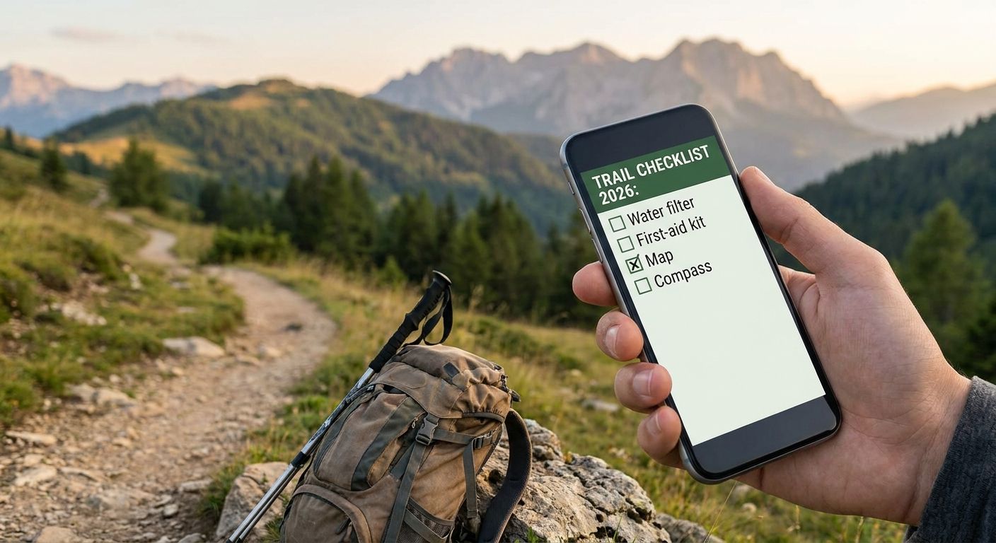
Choosing a long trail checklist tracker in 2026 comes down to one question: do you need live GPS data on your phone, or a durable, offline record of the ground you've covered? The best long trail checklist tracker for most thru-hikers is FarOut, paired with a printable Triptyka checklist for the national and state parks the route passes through — the app handles navigation, the paper handles the keepsake.
- FarOut wins as the best long trail checklist tracker for live waypoint and water-source data on the Appalachian Trail, Pacific Crest Trail, and Continental Divide Trail.
- Triptyka's printable checklist tracks the national and state parks a long trail passes through, with zero battery or signal required.
- AllTrails is the strongest option for planning individual sections before you commit to a full thru-hike.
- Postholer beats every app on mile-by-mile water and resupply data for the Triple Crown trails, but its interface is dated.
- Pair one digital tracker with one offline backup — phones die, paper doesn't.
Why this matters
A long trail checklist tracker isn't a nice-to-have accessory — it's how you know where you actually are on a route that can run 2,000-plus miles. Lose your data mid-trail and you lose weeks of logged progress, not a few days.
The Triptyka approach — printable, one-time-download checklists — exists because phones fail in exactly the conditions long trails create: rain, cold, dead batteries, and zero signal for days at a stretch. The best setup in 2026 usually blends a live app with an offline backup, not one tool doing everything.
What makes the best long trail checklist tracker
- Offline reliability — works with no cell signal and no battery dependency
- Data freshness — waypoints, water sources, and closures updated by hikers currently on trail
- Mileage accuracy — matches official trail mile markers, not estimated distances
- Motivation value — gives you something to check off, not just raw data to scroll through
- Weather durability — survives a downpour without a dry bag or a charger
- Cost simplicity — one-time purchase or free, no subscription creep mid-hike
Long trail checklist trackers at a glance
| Tracker | Best for | Standout feature | Key limitation |
|---|---|---|---|
| FarOut | Real-time waypoint and water data | Crowd-sourced comments updated by current hikers | Needs a charged phone and periodic data syncs |
| Triptyka printable checklist | Offline park-stop tracking | Printable, no signal or battery needed, ever | No mileage or waypoint data — manual only |
| AllTrails | Pre-trip route planning | Downloadable offline maps and elevation profiles | Less granular for 2,000+ mile thru-hikes |
| Postholer | Detailed water and resupply data | Mile-by-mile reports for AT, PCT, and CDT | Dated interface, weak on mobile |
| NPS Passport Book | Physical stamp collecting | Cancellation stamps at ranger stations | Only covers National Park Service units |
| DIY spreadsheet or journal | Total customization at no cost | Fully personalized fields | Time to set up, easy to abandon mid-trail |
1. FarOut: best long trail checklist tracker for real-time waypoint data
FarOut (formerly Guthook) is the GPS app most Appalachian Trail, Pacific Crest Trail, and Continental Divide Trail hikers already have on their phone. It layers crowd-sourced comments over trail maps — water sources, campsite conditions, road crossings — updated by hikers who passed the same point days or hours earlier.
FarOut pros:
- Live, crowd-sourced updates on water and campsites
- Covers every major National Scenic Trail
- Works offline once maps are downloaded in advance
FarOut cons:
- Drains phone battery fast in the backcountry
- App-only — no backup once the phone dies
- Comment quality thins out late in a hiking season
Best for: thru-hikers who need live water and campsite data. Verdict: Buy.
2. Triptyka: best long trail checklist tracker for printable, no-signal park tracking
Triptyka sells downloadable, printable checklists built for the national parks a long trail threads through — and long trails cross dozens of park boundaries. The Appalachian Trail alone runs through eight national forests and multiple national park units; the Pacific Crest Trail and Continental Divide Trail do the same on the West Coast and Rockies. A printed checklist logs every one of those crossings without a phone in the mix.
Triptyka checklist pros:
- Zero battery or signal required, ever
- One-time download you print and laminate against rain
- Doubles as a physical keepsake once the trail is done
Triptyka checklist cons:
- No mileage, elevation, or waypoint data — it tracks named park stops only
- Entries are filled in by hand, no automatic GPS logging
Best for: hikers who want an analog, gamified log of the parks a long trail passes through. Verdict: Buy — as a companion to a navigation app, not a replacement for one.
Get a printable park checklist
Download and print a national park checklist before your next long trail section.
3. AllTrails: best for route planning and elevation profiles before you go
AllTrails works better as a planning tool than a full thru-hike tracker. Its offline map downloads and crowd-rated difficulty scores make it a strong pick for hikers scoping out a section before committing weeks to it.
AllTrails pros:
- Offline maps download before you lose signal
- Elevation and difficulty ratings from other users
- Useful for day sections as well as full trails
AllTrails cons:
- Coverage on 2,000-plus mile thru-hikes is thinner than trail-specific apps
- Free tier caps how many maps you can download offline
Best for: hikers planning individual sections before a full thru-hike. Verdict: Buy.
4. Postholer: best for detailed PCT, CDT, and AT resupply data
Postholer has run mile-by-mile water reports and town guides for the Triple Crown trails for years. It's a website, not an app, and it reads like one built before mobile-first design existed — but the water and resupply data still holds up.
Postholer pros:
- Mile-by-mile water source reports
- Detailed town guides for resupply stops
- Free to access
Postholer cons:
- Clunky interface on a phone screen
- Limited to the Triple Crown trails and a handful of others
Best for: hikers planning resupply and water stops ahead of each day. Verdict: Hold — strong supplementary data, weak as a primary tracker.
5. National Park Service Passport Book: best for physical stamp collecting
The NPS Passport Book is a physical booklet hikers get cancellation-stamped at ranger stations inside any National Park Service unit. It's a decades-old tradition among park visitors, and long trail hikers who pass through NPS land often carry one alongside their main tracker.
Passport book pros:
- Tangible souvenir of every unit visited
- Cancellation stamps are free at ranger stations
- Works at any NPS unit nationwide, not just trail-adjacent ones
Passport book cons:
- Only covers National Park Service units — most trail mileage falls outside them
- Requires a detour to a staffed ranger station to get stamped
Best for: hikers who want a physical stamp collection alongside their trail log. Verdict: Buy — as an add-on, not a standalone trail tracker.
6. DIY spreadsheet or paper trail journal: best for total customization at no cost
Some hikers already run their own tracking system — a spreadsheet with mile markers and notes, or a paper journal they fill in each night at camp. It costs nothing and bends to whatever fields matter to you.
DIY tracker pros:
- Free
- Fully customizable fields
- No dependency on any company staying in business
DIY tracker cons:
- Takes real setup time before day one on trail
- Easy to abandon by week three of a long hike
- No crowd-sourced water or condition data
Best for: hikers who already track everything in a personal system. Verdict: Wait — only if you're already disciplined about daily logging.
How we ranked
Each tracker was weighed against the same six criteria: offline reliability, data freshness, mileage accuracy, motivation value, weather durability, and cost simplicity. Apps scored high on freshness and mileage accuracy but lost points on offline reliability; printable and physical trackers flipped that pattern entirely. No single tool won on every dimension, which is why the strongest 2026 setups combine at least two.
“The best long trail checklist tracker isn't one tool doing everything — it's a live app for navigation and an offline backup for the record that survives a dead battery.”
Which long trail checklist tracker should you choose?
If you're planning a full thru-hike of the Appalachian Trail, Pacific Crest Trail, or Continental Divide Trail in 2026, run FarOut for live navigation and pair it with a printable Triptyka park checklist for the national and state park stops along the way. Section hikers planning shorter stretches get more value from AllTrails' pre-trip route planning. Hikers who want a physical keepsake beyond the trail itself should add an NPS Passport Book to either combination.
FAQ
What's the best long trail checklist tracker for thru-hikers?
FarOut is the best long trail checklist tracker for live navigation on the Appalachian Trail, Pacific Crest Trail, and Continental Divide Trail in 2026, thanks to crowd-sourced water and campsite updates. Pair it with an offline backup like a printable park checklist since phones can die mid-trail.
Is FarOut better than AllTrails for the Appalachian Trail?
FarOut is stronger for the full Appalachian Trail because its waypoint comments come from hikers currently on the route, while AllTrails works better for planning individual day sections beforehand. Most AT thru-hikers in 2026 use FarOut as their primary app.
Does a printable checklist work without cell service?
Yes, a printable checklist like Triptyka's works with zero cell service or battery because it's a paper document you fill in by hand. It won't give you mileage or waypoint data, but it never fails in a dead zone.
Can I track state parks along a long trail like the Appalachian Trail?
Yes, long trails routinely pass through state parks in addition to national parks, and a printable state park checklist tracks those stops separately from your main navigation app. This works alongside GPS tools rather than replacing them.
How long are the Appalachian Trail, Pacific Crest Trail, and Continental Divide Trail?
The Appalachian Trail runs about 2,197 miles, the Pacific Crest Trail about 2,650 miles, and the Continental Divide Trail about 3,100 miles. Together the Triple Crown trails add up to roughly 7,900 miles.
What's the best free option for tracking a thru-hike?
Postholer is free and gives mile-by-mile water and resupply data for the Triple Crown trails, though its interface is dated on mobile. A DIY spreadsheet or paper journal is also free but takes setup time before day one.
Should I use paper or an app to track my long trail hike?
Use both — an app like FarOut for live water and waypoint data, and a paper or printable tracker as a backup that survives a dead battery or lost signal. Relying on one tool alone is the most common tracking failure on long trails.
One last thing
The Appalachian Trail, Pacific Crest Trail, and Continental Divide Trail add up to close to 7,900 combined miles, and every one of those miles crosses land managed by a different agency — Forest Service, National Park Service, state parks, private easements. No single app or passport book covers all of it, which is exactly why hikers who finish a Triple Crown trail almost always ran two tracking systems at once, not one.